About This Adventure
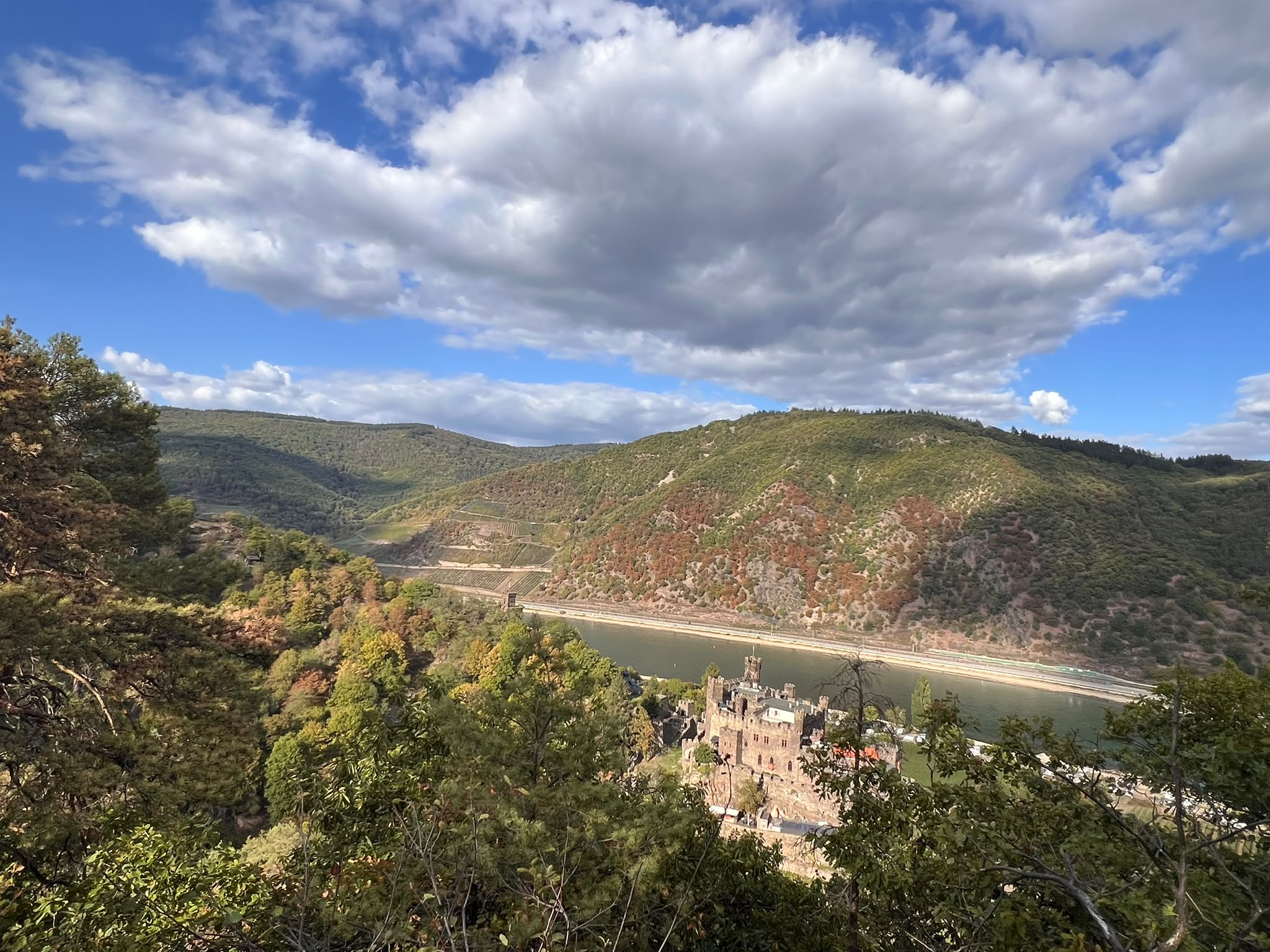
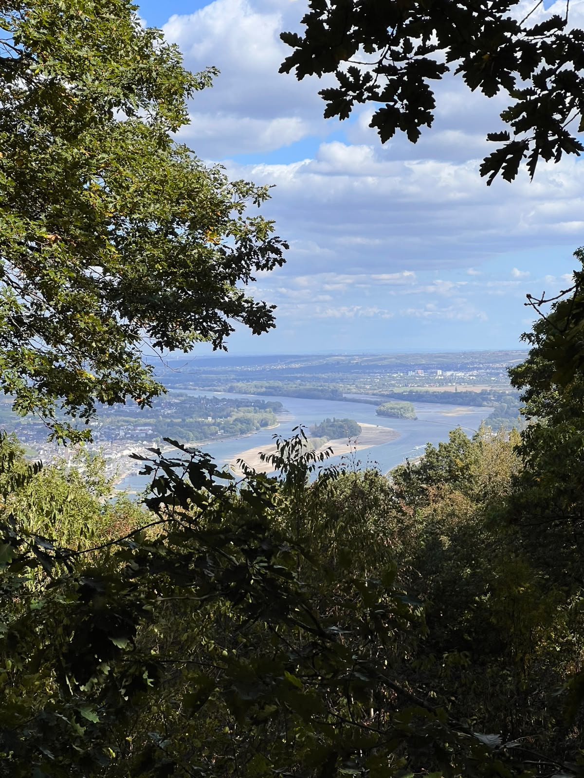
Join us for a spooky Halloween day hike through the mystical Bingen Forest, where the Romans once resided! We’ll cover 12 km with around 400 m of elevation gain, starting in Bingen and ending in Trechtingshausen, near the UNESCO World Heritage Site of the Upper Middle Rhine Valley.
Along the way, we’ll tackle some steep hills, explore ancient history, enjoy fun outdoor games, and get to know new people while discovering new places together. Expect a day filled with autumn vibes, mysterious forest paths, and maybe a little Halloween magic!
Good to know: Some parts of the hike are quite steep, so sturdy hiking shoes and hiking poles are highly recommended. No poles? Don’t worry — we can find some natural hiking sticks along the way!
Weather & pictures: All pictures are for illustrative purposes and serve as inspiration. Please keep in mind that the weather can change, so the actual conditions and scenery may differ on the day of the hike. Dress in layers and come prepared for changing weather!
Bring your adventurous spirit, embrace the atmosphere, and join us for a full of nature, history, and good company!
Who is this for?
Regulars and beginners are welcome. We keep a companionable pace and nobody walks alone — a back marker always stays with the group.
Adventure Itinerary · 5 stops
- 10:00 — Meet up at Mainz Central Station
We will meet in front of the train station. Please be there on time. If you are meeting us in Bingen, please let us know prior to hike.
- 11:00 — Bingen arrival and start of hike
Arrival at Bingen (Rhein) Central Station.
- 12:00 — First break
We will stop for some water, food, and a good view. Please note that we do not provide provisions.
- 14:00 — Second break
We will stop for some water, food, and a good view. Please note that we do not provide provisions.
- 15:00 — End of hike
Arrival at Reichenstein Castle. Those who want to stay and visit the castle and enjoy a glass of wine or grape juice at the restaurant.
Route & Elevation
Distance 12.0 km · +400 m elevation · GPX track available.
Elevation profile
↗ — Total ascent↘ — Total descent
What to Bring
Good to Know
Easy ~3.5–4 km/h group pace with a back marker. Nobody is left behind.
Updates via group message and email 24h before if conditions change.
Capped at 15. Please cancel 36h ahead so waitlisted hikers can join.